Asset inspection
Document visible conditions on buildings, equipment and elevated structures.
Multirotor solutions
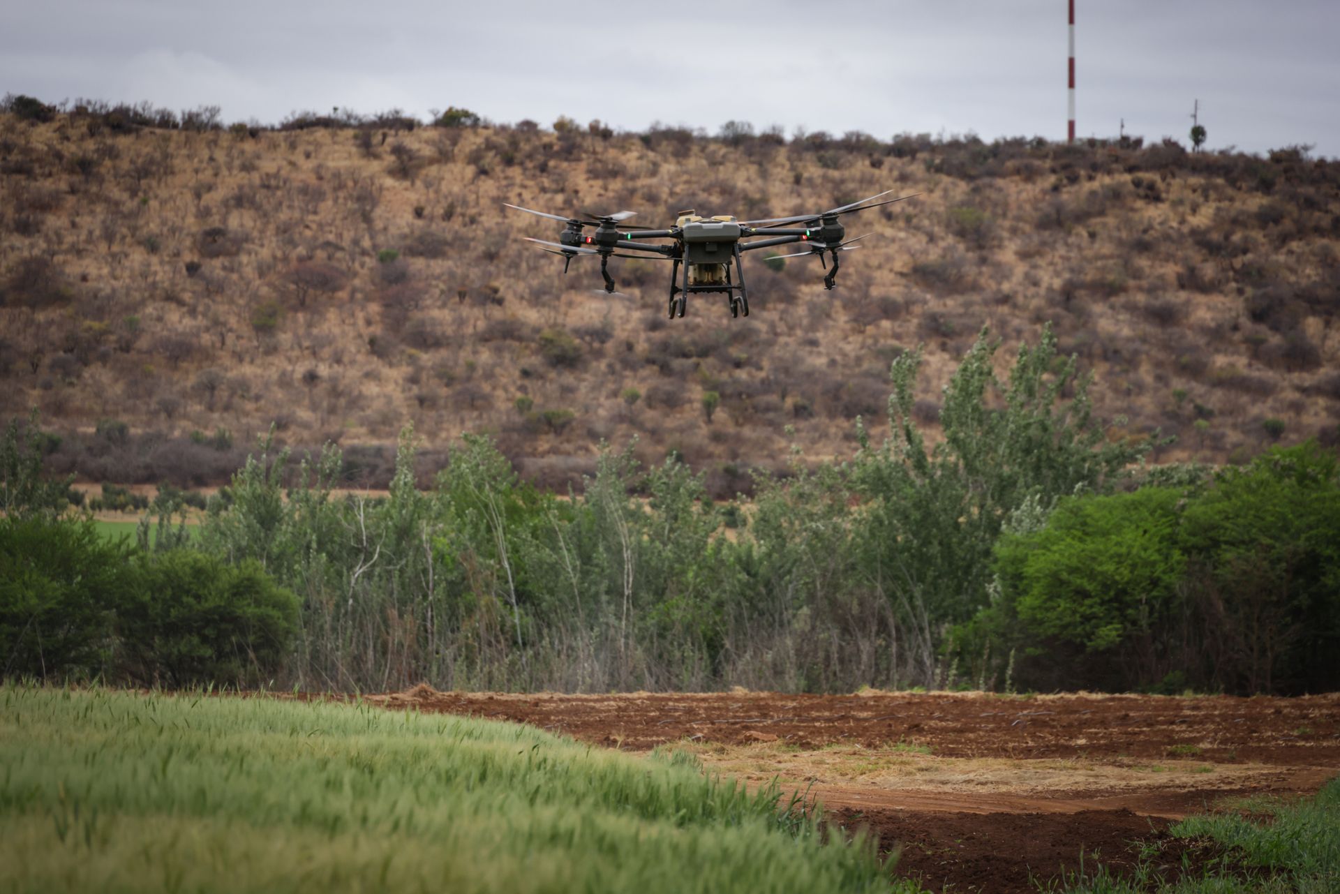
Multirotor platforms provide stable, precise and flexible aerial access for missions that depend on detailed observation and controlled positioning.
Discuss your mission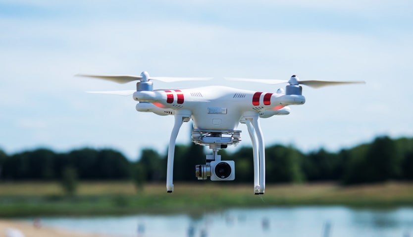
Why multirotor
Hovering helps observe a defined asset from a controlled angle.
Plan viewpoints around structures, access restrictions and the detail to examine.
Visual and thermal payloads can support complementary questions within an agreed scope.
Typical missions
Document visible conditions on buildings, equipment and elevated structures.
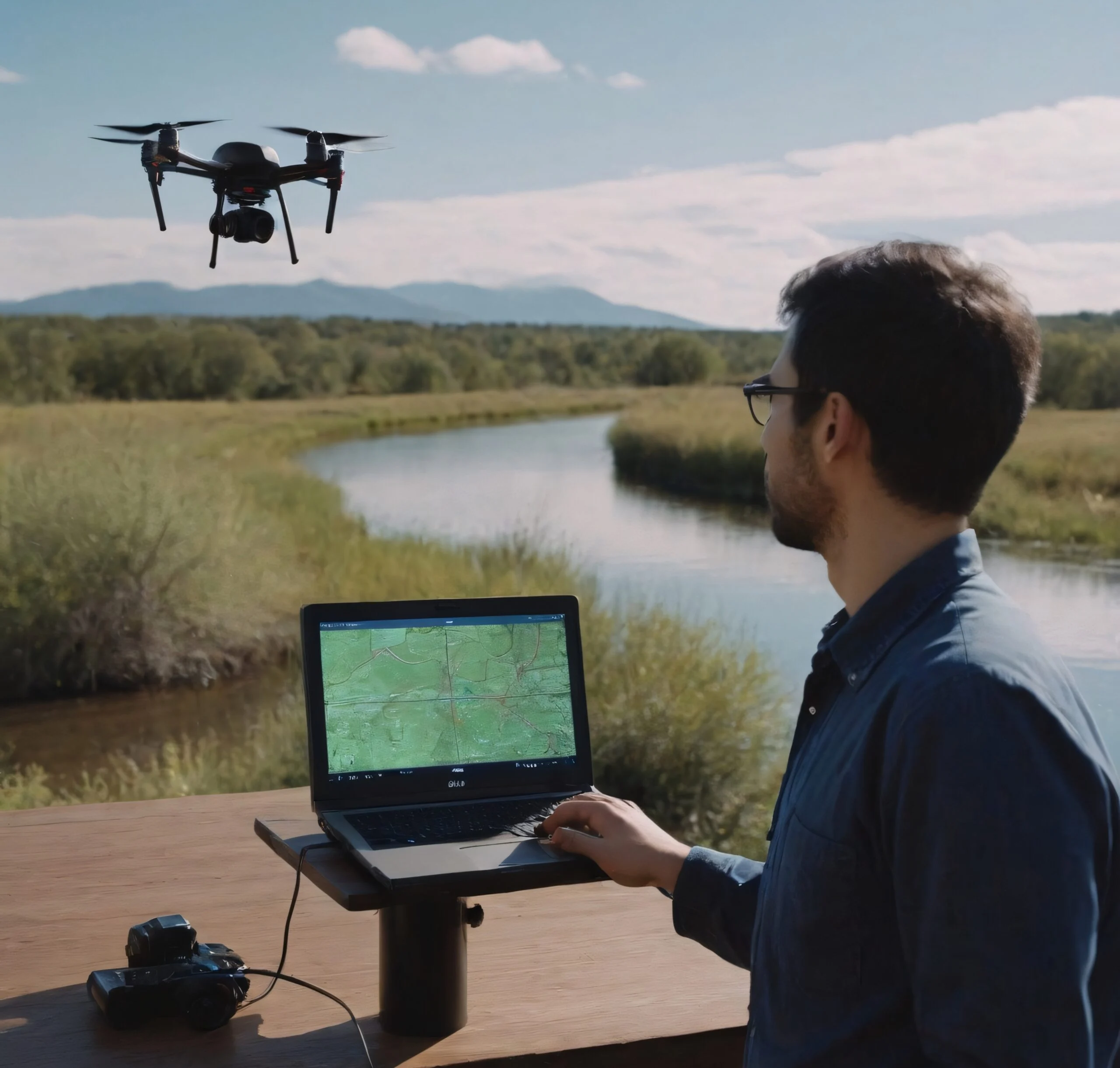
Revisit a defined site and compare observations over time.

Capture a compact area where maneuverability and viewpoint control are useful.
Supported capabilities
A close view may need visible detail, thermal differences or a structured map. Choose the capture and analysis together.
Supported capabilities
Capture temperature differences that can help highlight areas requiring closer technical investigation.
Payload selection and capture conditions are confirmed during mission planning.
Organize and interpret aerial imagery and mission data to reveal patterns, priorities and information useful for further investigation.
Turn structured aerial acquisition into visual and geospatial datasets for terrain understanding, planning and documentation.
Extend visual awareness across sites, facilities, corridors and operational areas.
Use aerial observation to examine crop conditions, field variability and areas requiring more targeted assessment.
Mission workflow
Identify the surfaces, access limits and operational question.
Plan capture positions and select a suitable sensor configuration.
Organize imagery and identify observations that need further checks.
What you receive
Deliverables are agreed around the mission scope. The outputs below are possibilities, not a package included in every flight.
Mission questions
Every project has its own constraints. We’re here to work through yours.
Ask us a questionWhen the mission needs hovering, close observation or precise movement around a defined area. Access, weather and the required information guide the platform choice.
They can complement each other when the selected aircraft and payload support the mission. Capture conditions and deliverables are confirmed during scoping.