
Terrain & site mapping
Build geographic context for planning, documentation and field work.
VTOL solutions
VTOL combines vertical take-off flexibility with efficient forward flight for missions that need broader coverage without conventional runway operations.
Discuss your mission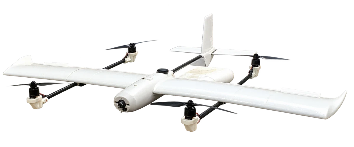
Why VTOL
The useful scale of a mission is set by its terrain and information needs, not by a headline range figure.
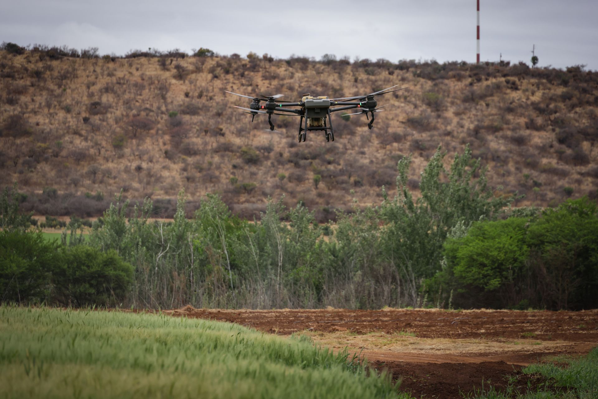
Launch and recover from a suitable prepared area, without a conventional runway.
Forward flight supports acquisition across fields, corridors and wider sites.
Boundaries, relief, weather and payload requirements shape the acquisition plan.
Large-area missions
Build geographic context for planning, documentation and field work.
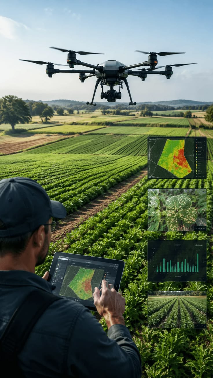
Observe field variability and prepare targeted follow-up on the ground.
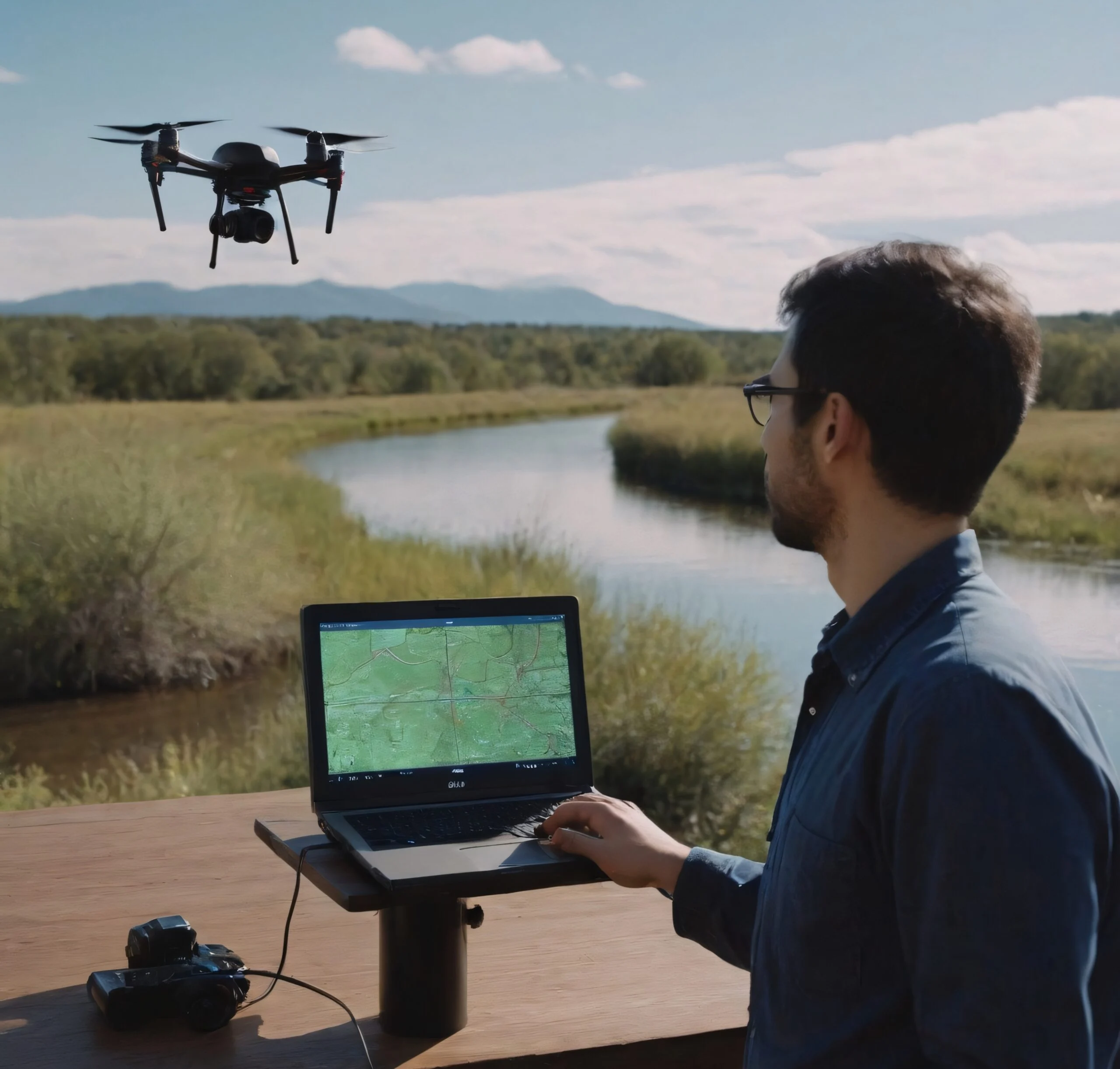
Document conditions along routes and across separated operational areas.
Supported capabilities
Mapping and agricultural observation lead the approach. Other sensors are considered against payload compatibility and the mission conditions.
Supported capabilities
Turn structured aerial acquisition into visual and geospatial datasets for terrain understanding, planning and documentation.
Use aerial observation to examine crop conditions, field variability and areas requiring more targeted assessment.
Extend visual awareness across sites, facilities, corridors and operational areas.
Organize and interpret aerial imagery and mission data to reveal patterns, priorities and information useful for further investigation.
Capture temperature differences that can help highlight areas requiring closer technical investigation.
Payload selection and capture conditions are confirmed during mission planning.
Thermal imaging requires an appropriately configured payload.
Acquisition & coverage
Agree the area, terrain constraints and intended use of the data.
Select the payload, coverage pattern and suitable launch and recovery locations.
Check and structure captured information for the agreed geospatial workflow.
What you receive
Deliverables are agreed around the mission scope. The outputs below are possibilities, not a package included in every flight.
Mission questions
Every project has its own constraints. We’re here to work through yours.
Ask us a questionVertical take-off and landing remove the need for a conventional runway. A suitable launch and recovery area is still required and assessed during planning.
Coverage depends on the aircraft, payload, terrain, weather and required detail. Share the survey boundary so we can define a realistic mission scope.
Thermal observation is possible only with an appropriate aircraft and payload configuration. Suitability and capture conditions are assessed for each mission.