Skip to content
ARKHOU DRONE

Our services

Different missions. Different ways to fly.

ARKHOU combines multirotor operations, VTOL coverage and aeronautical development with sensing and data capabilities selected around the objective.

Find your approach
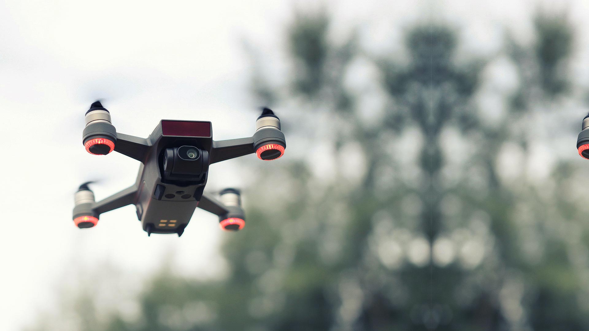
A camera-equipped multirotor drone in flight
ARKHOU DRONEA different perspective ↗
Designed around your missionExplore the story

Three service pillars

Choose how to approach the mission.

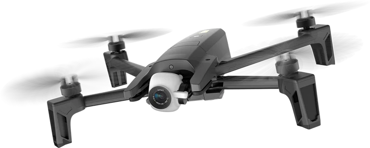
Black multirotor drone with a front-mounted camera, isolated from its background

01 / Multirotor

Precision where it matters.

Hold a position, examine a surface and document a defined site. Choose multirotor when proximity and controlled viewpoints matter.

Best for
Inspection · Monitoring · Local Mapping · Detailed Observation
  • Thermal Imaging
  • AI & Data Analysis
  • Mapping & Survey
  • Surveillance
  • Precision Agriculture
Explore Multirotor
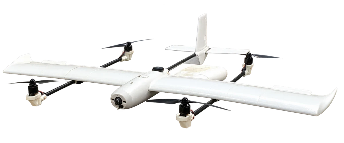
White fixed-wing VTOL aircraft with four lift motors, isolated from the event booth photograph

02 / VTOL

Go further. Cover more.

Connect observations across a landscape. Vertical launch and forward flight support a continuous view of terrain, fields and corridors.

Best for
Large-Area Mapping · Agriculture · Wide-Area Monitoring · Geospatial Acquisition
  • Mapping & Survey
  • Precision Agriculture
  • Surveillance
  • AI & Data Analysis
  • Thermal Imaging

Thermal imaging requires an appropriately configured payload.

Explore VTOL
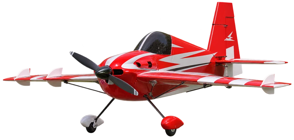
Red and white model aircraft showing its airframe, propeller and landing gear

03 / Aeronautical Modelling & Prototyping

From concept to flight.

Test an idea in the air. Develop aircraft geometry, integrate controls and refine a physical prototype through practical trials.

Best for
R&D · Prototype Development · Airframe Concepts · Flight Validation
  • Aerodynamics
  • Airframe Engineering
  • Prototyping
  • Embedded Systems
  • Payload Integration
  • Flight Testing
Explore Aeromodelling

Mission capabilities

Capabilities that extend every mission.

The mission is shaped by what needs to be observed, captured and understood. ARKHOU combines aircraft, sensors and analysis around that objective.

Explore thermal imaging

Mission-to-service guide

Start with what you need to understand.

What you receive

Useful outputs, not just flights.

Deliverables are agreed around the mission scope. The outputs below are possibilities, not a package included in every flight.

  • Organized aerial imagery
  • Mapping datasets
  • Thermal observations
  • Mission documentation
  • Site overviews
  • Technical reporting
  • Processed geospatial information
  • Investigation priorities

Your next move starts here

Let’s give your idea
a flight plan.

Tell us what you need to inspect, map, monitor, understand or develop. We’ll help define the platform, capabilities and mission approach around that objective.
Discuss Your Mission
Your mission brief

Start with what matters to you.

Inspect Map Monitor Analyze Design
Prefer a conversation?+216 55 350 659